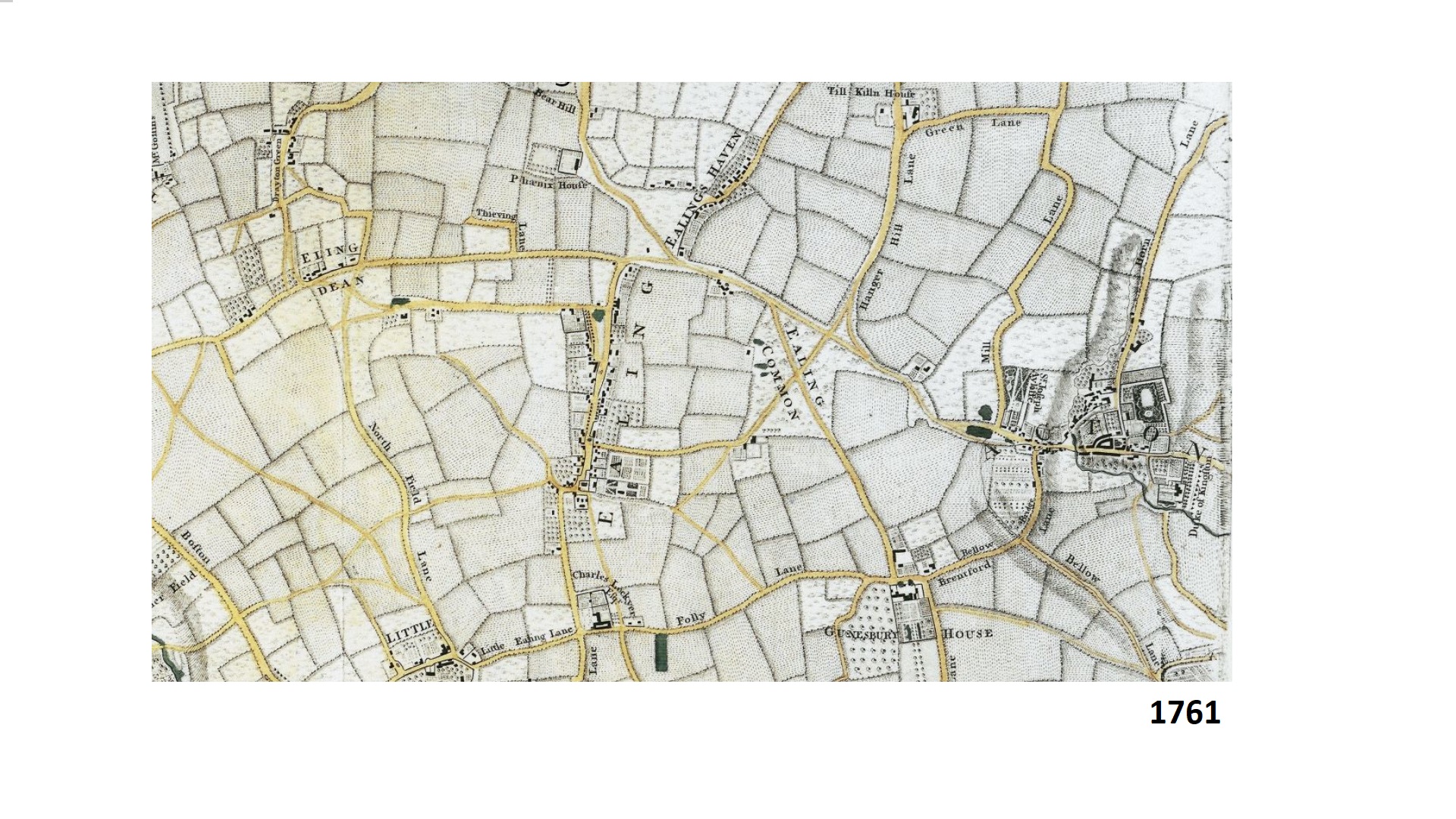
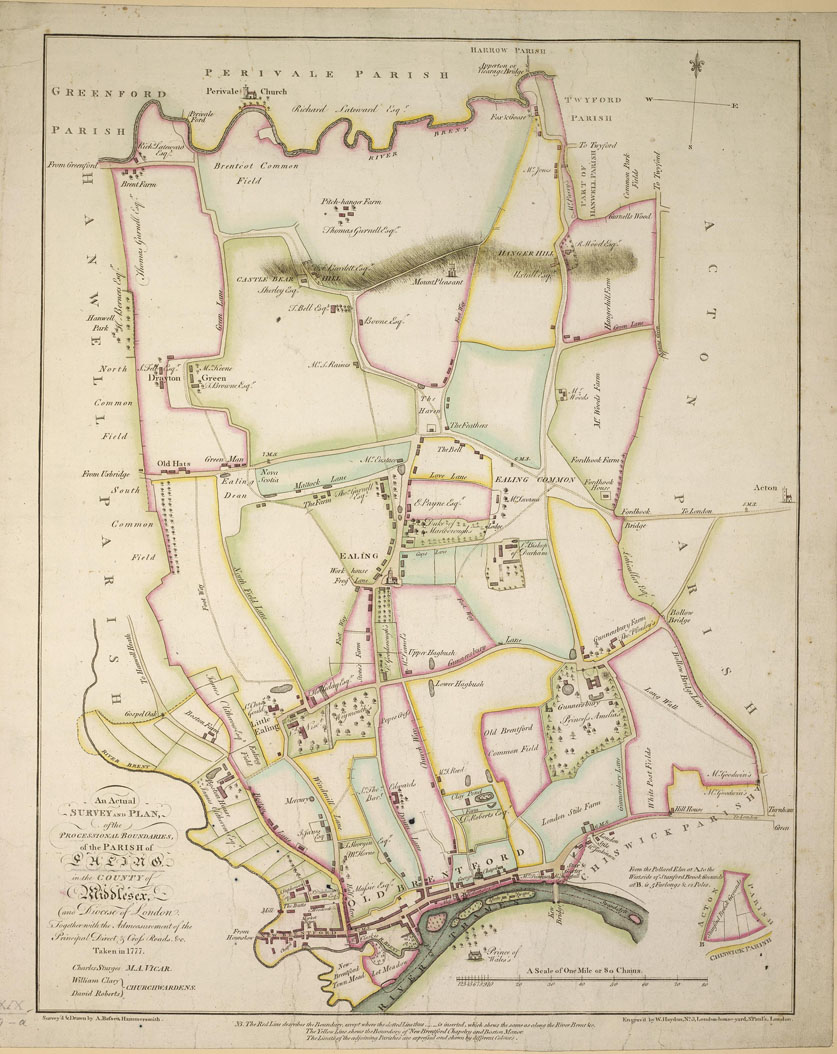
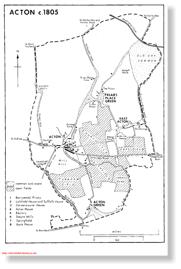
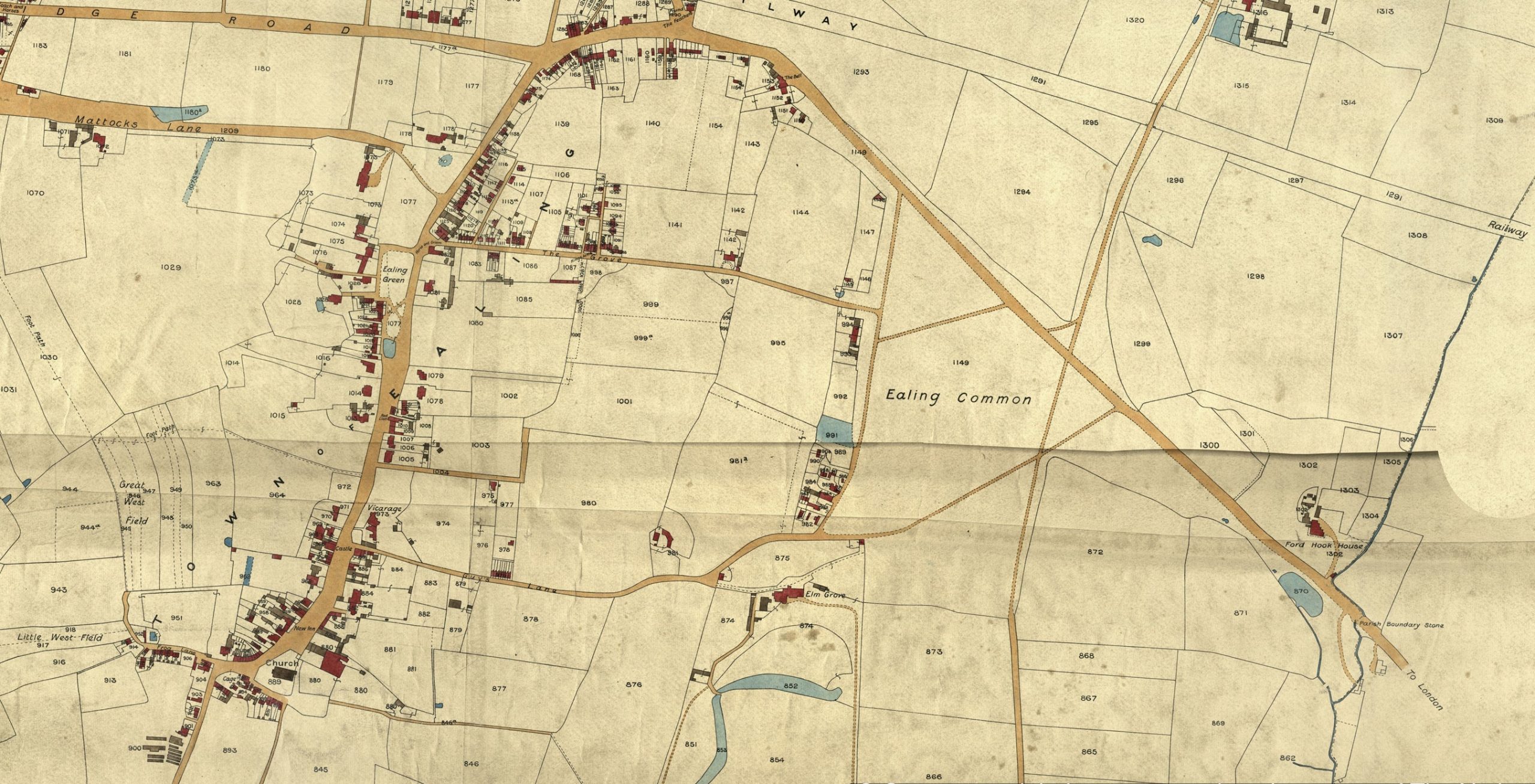
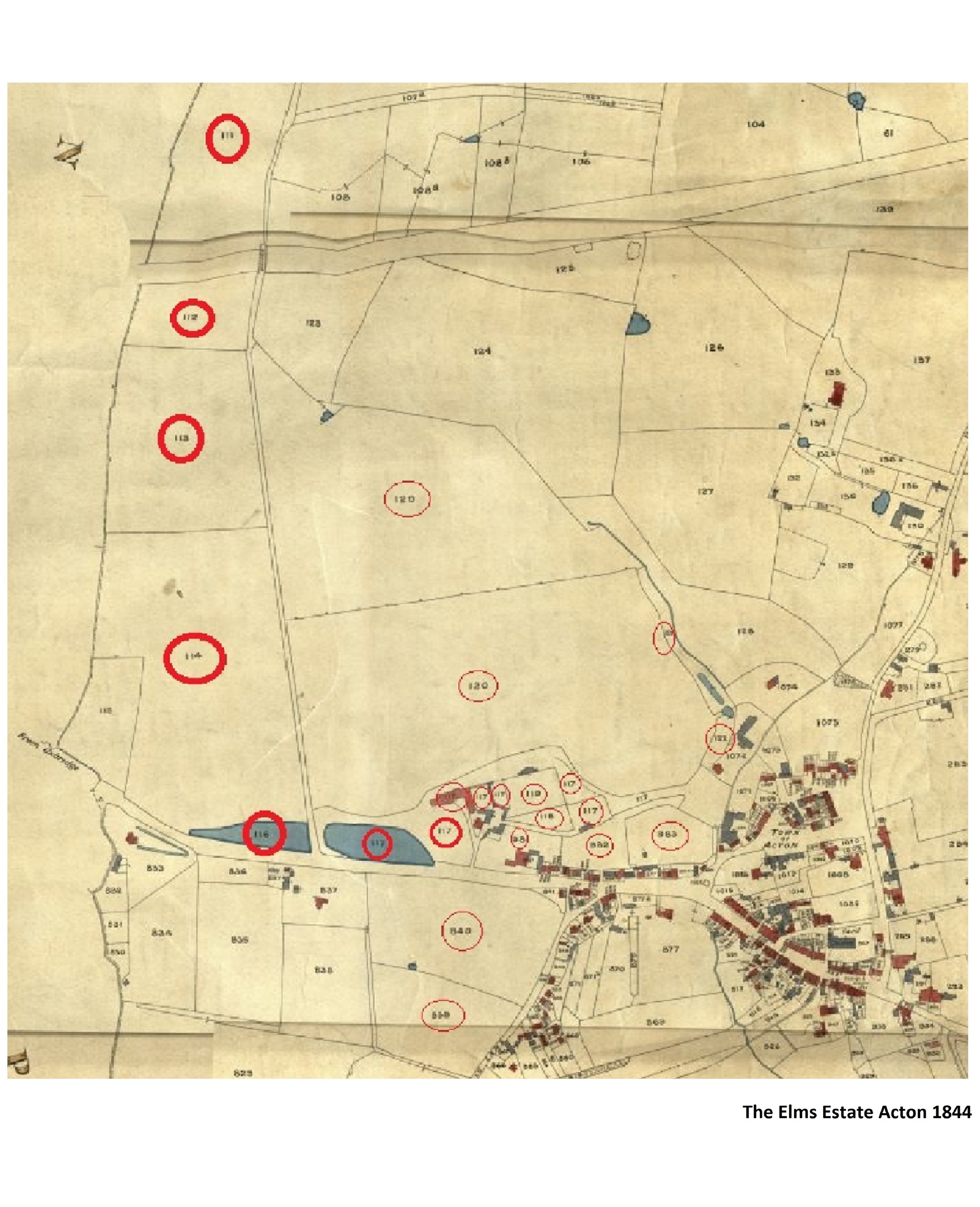
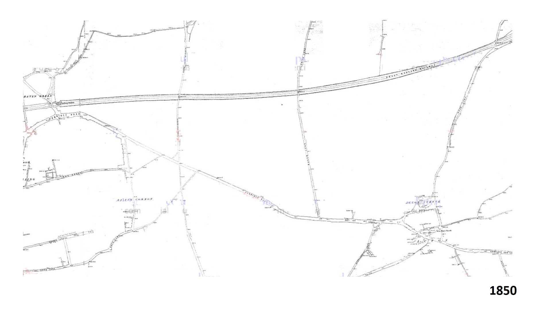
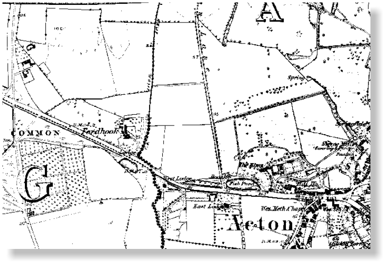
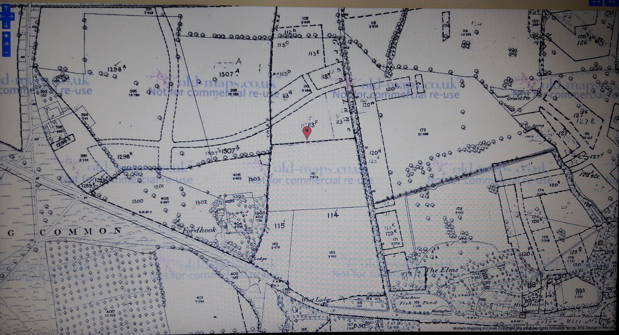
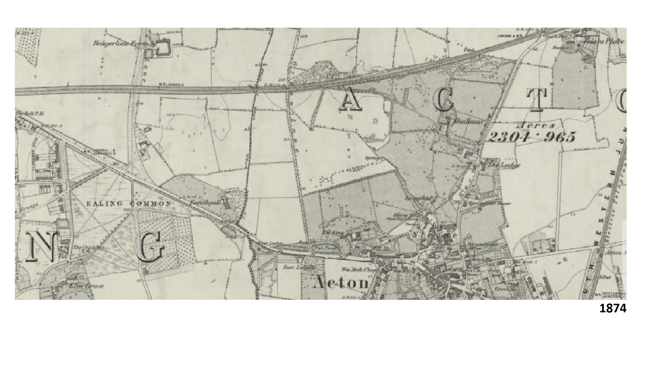
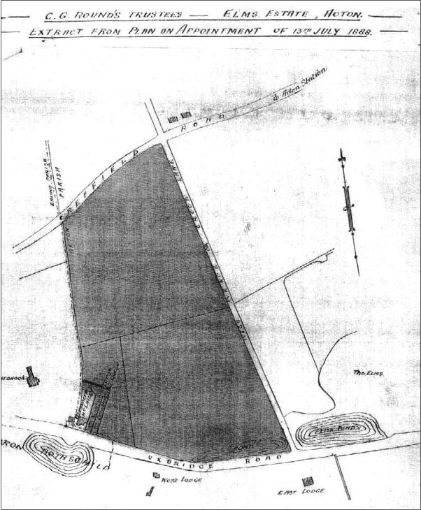
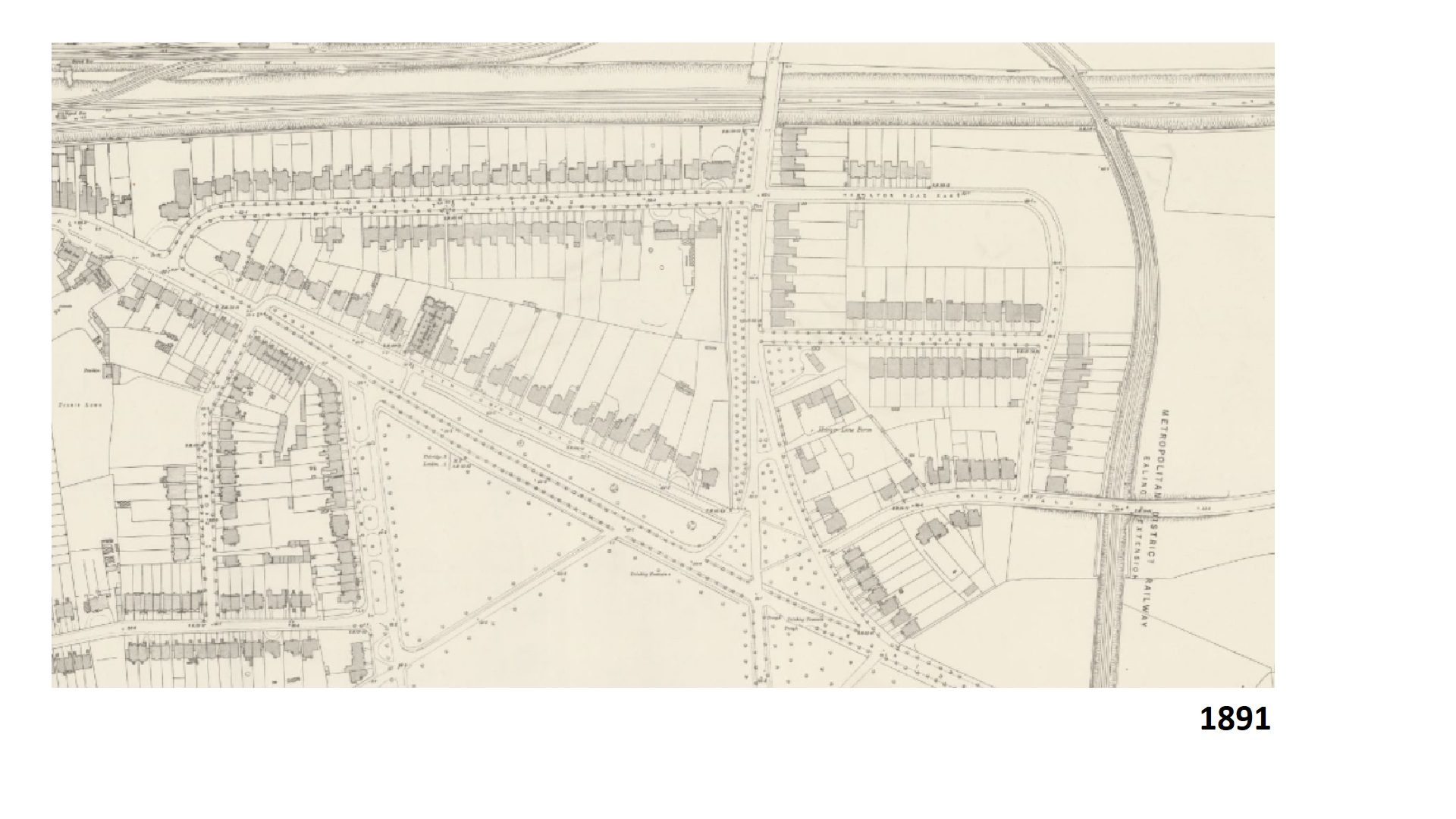
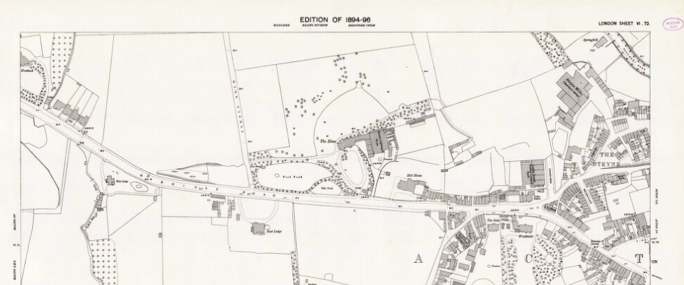
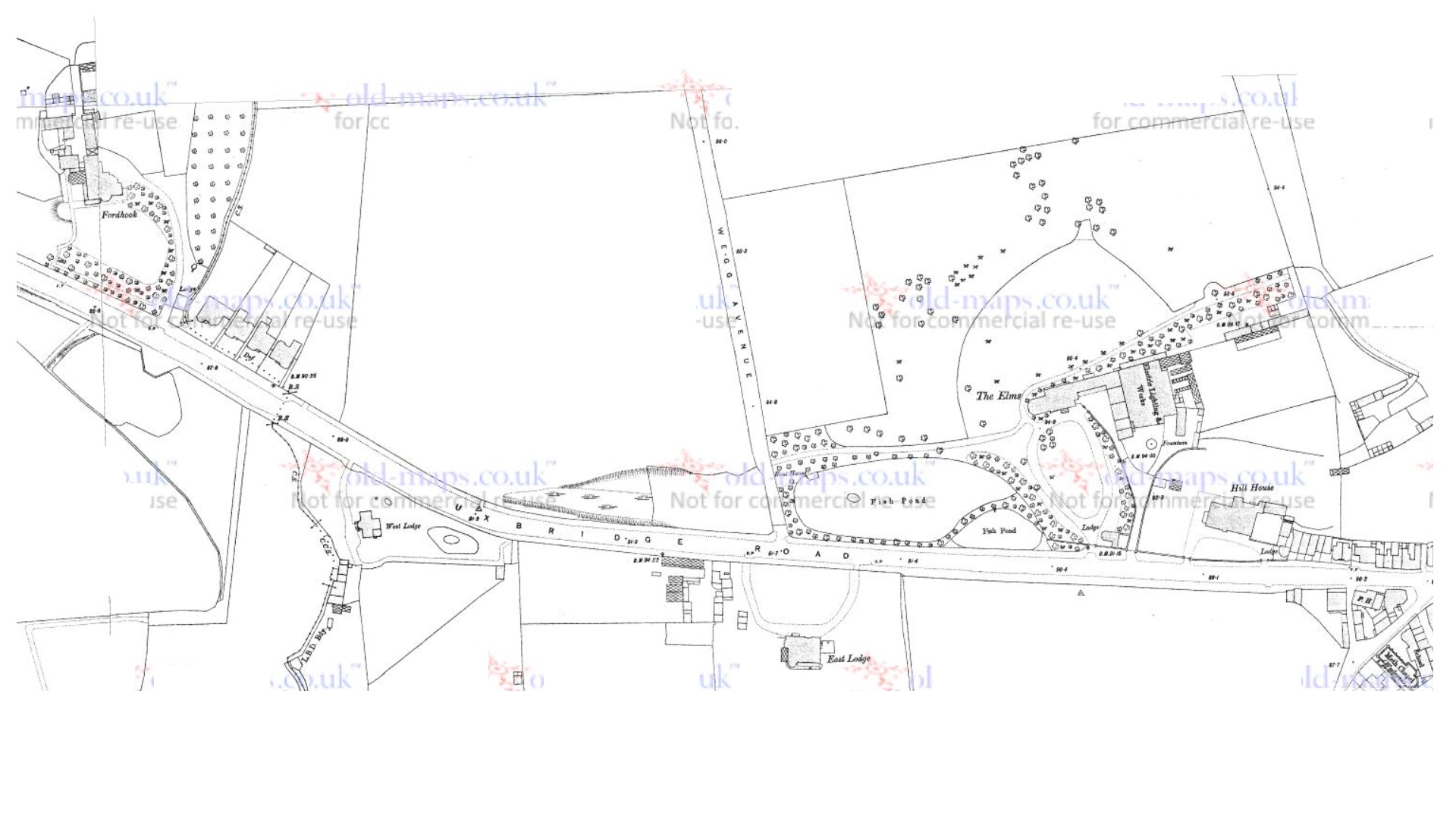
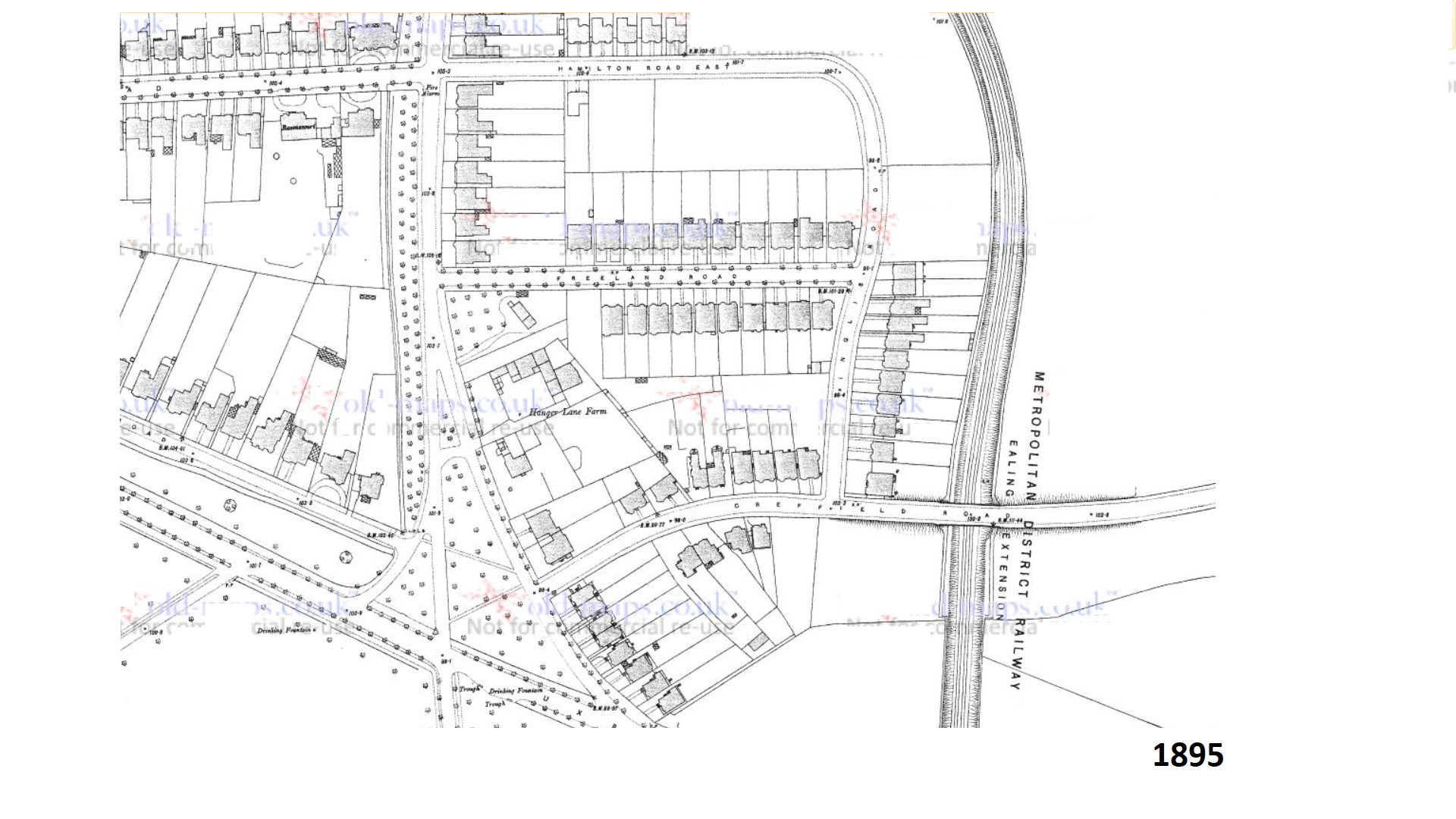
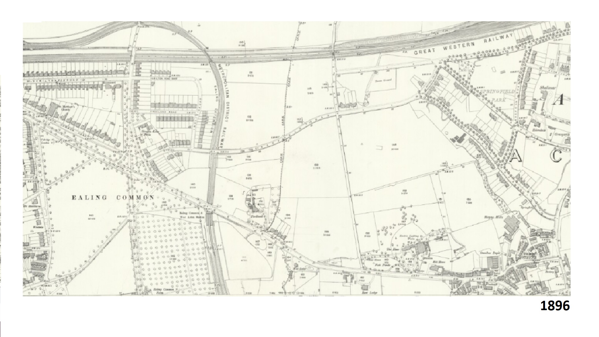
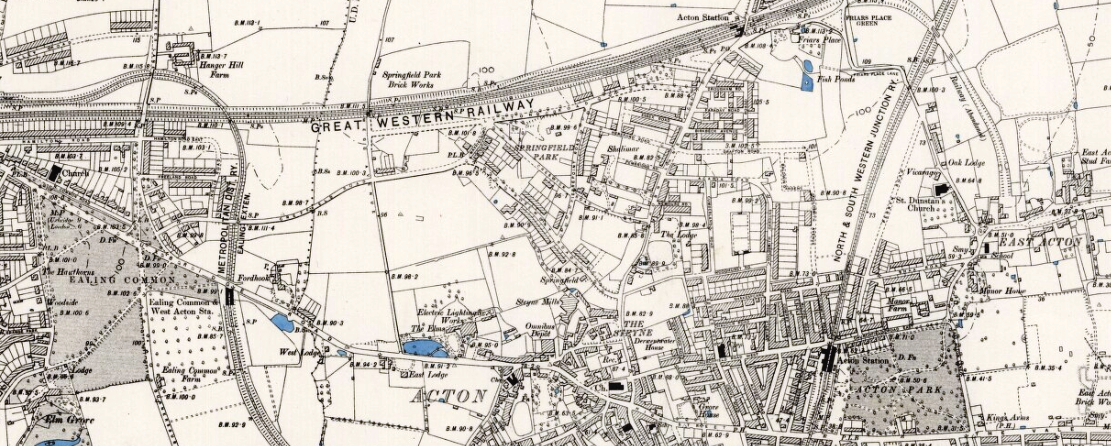
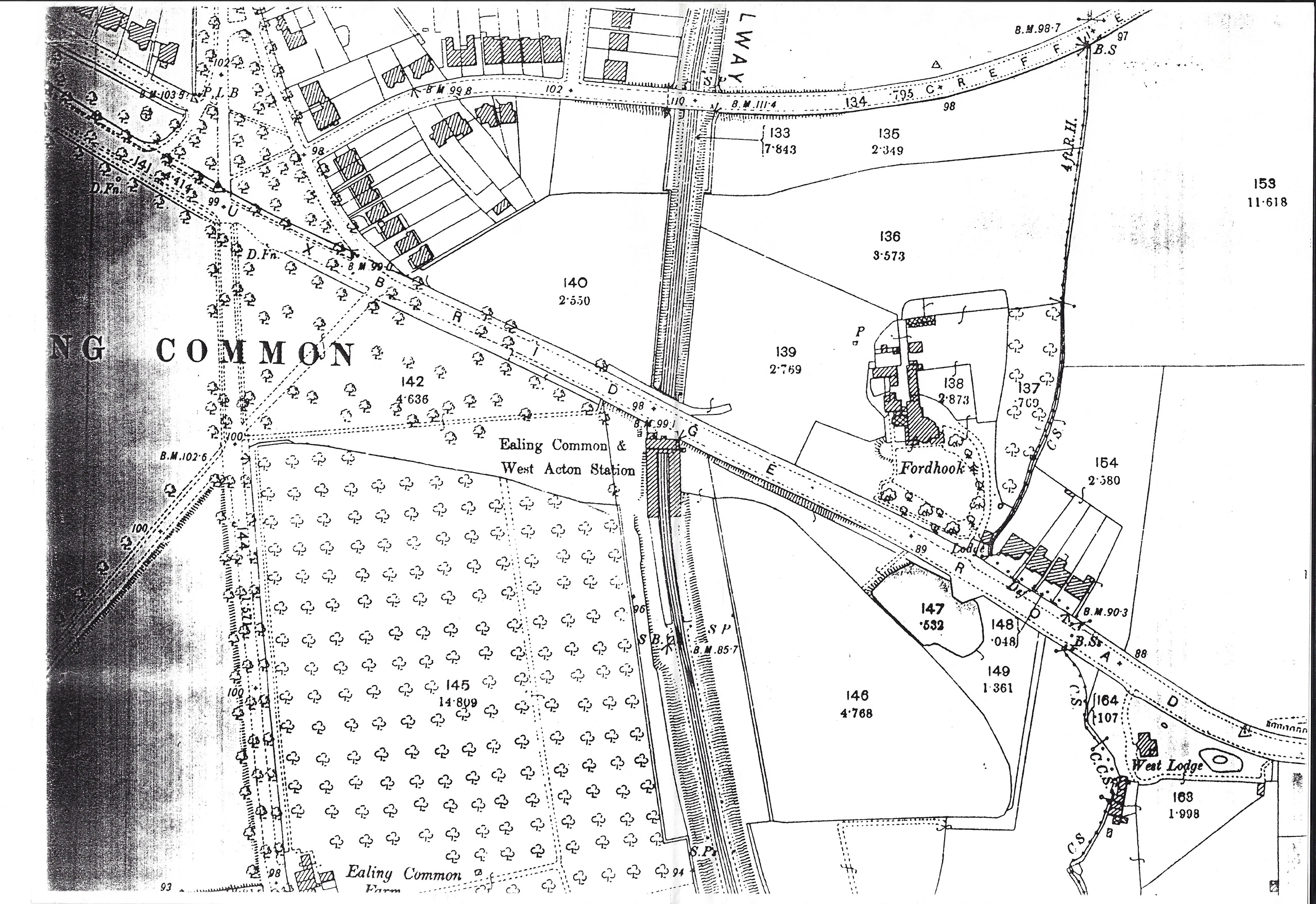
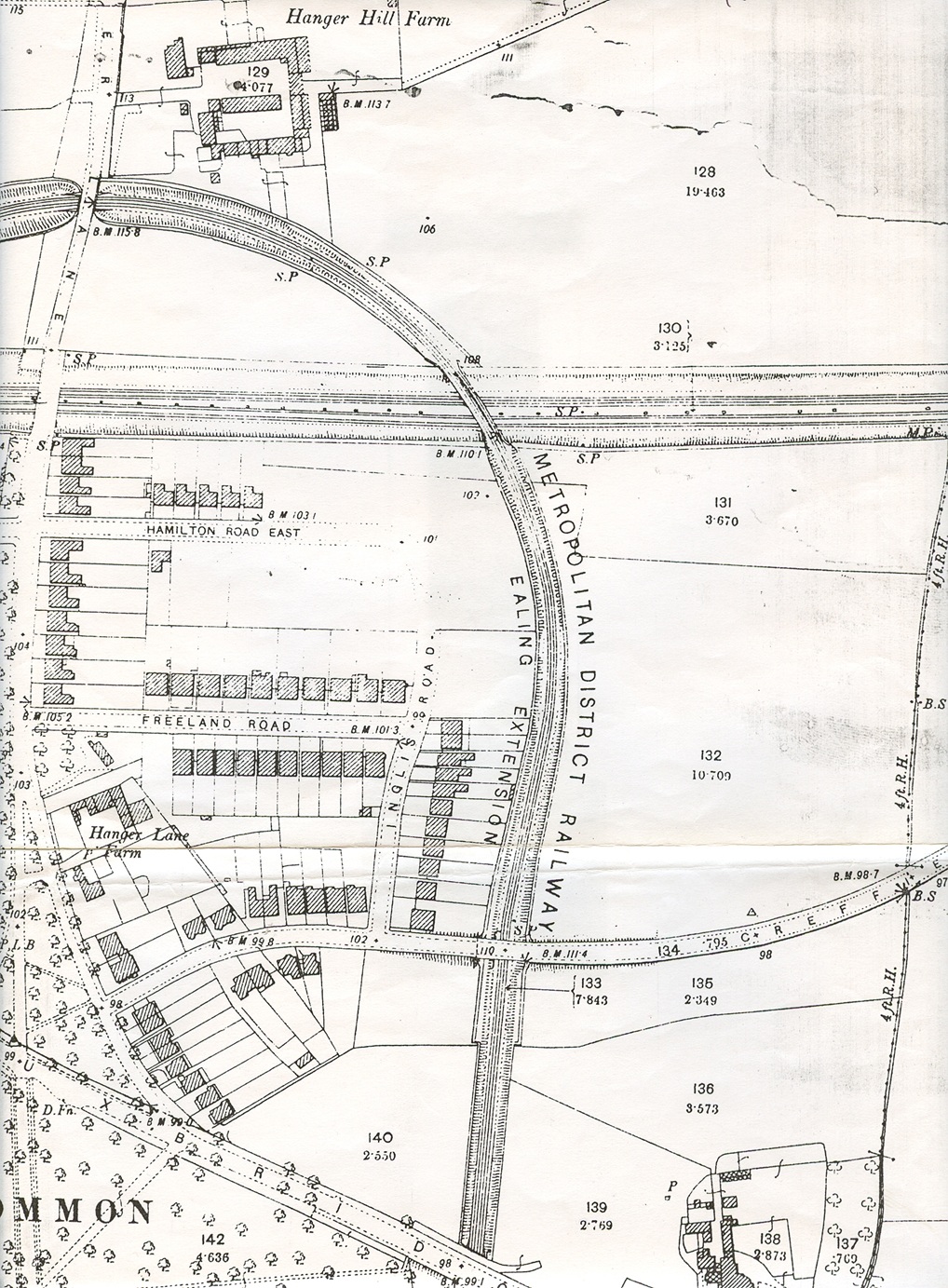
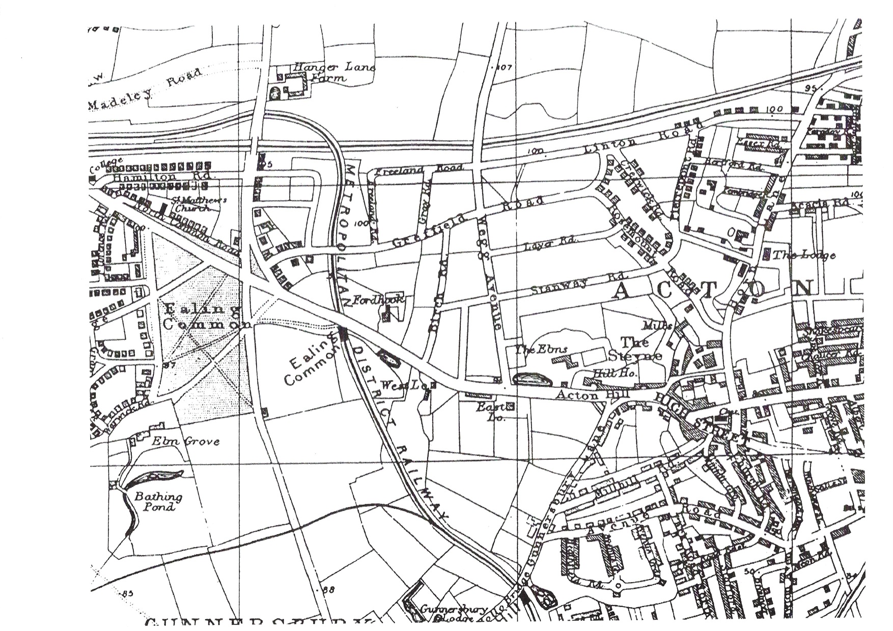
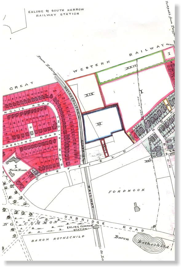
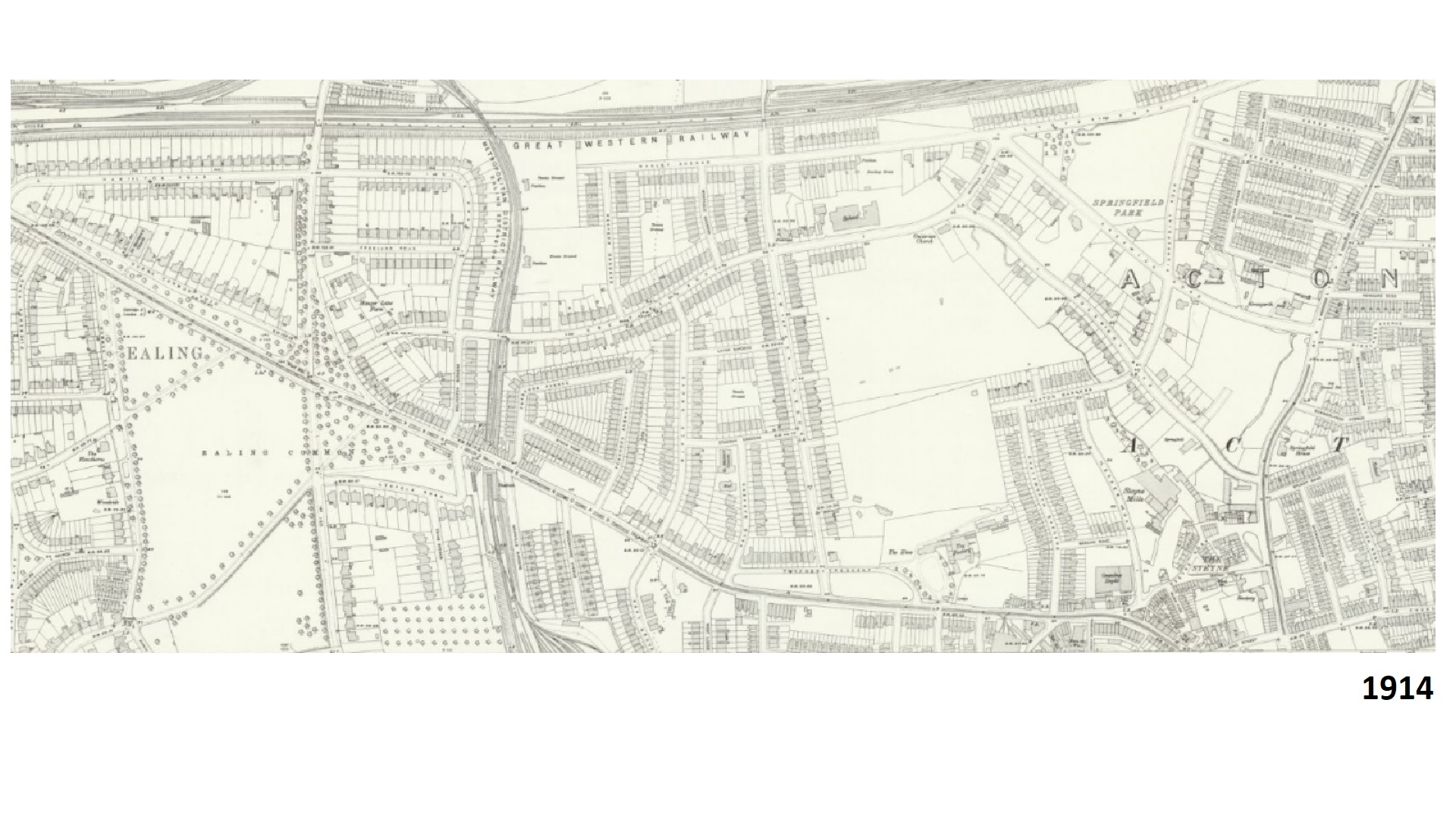
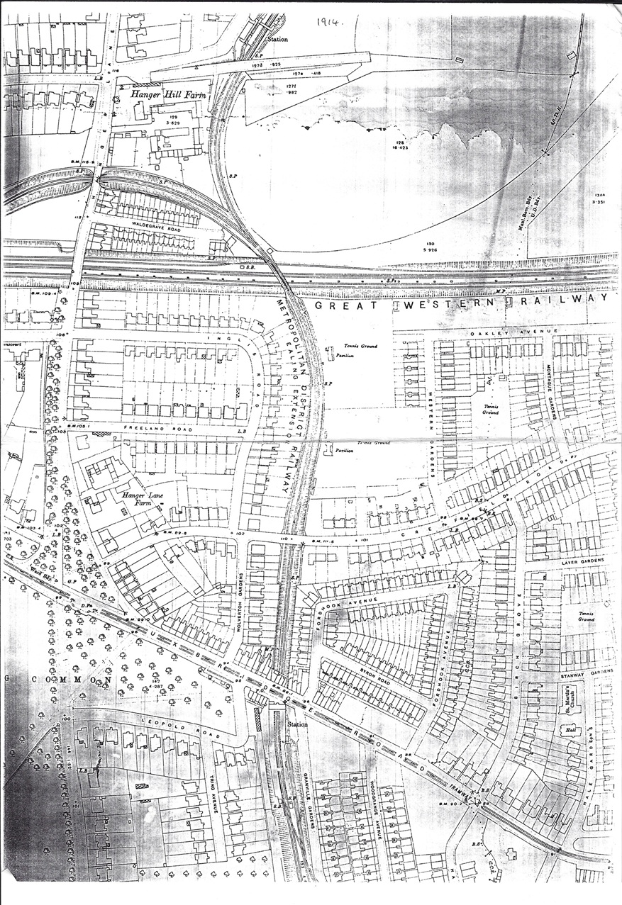
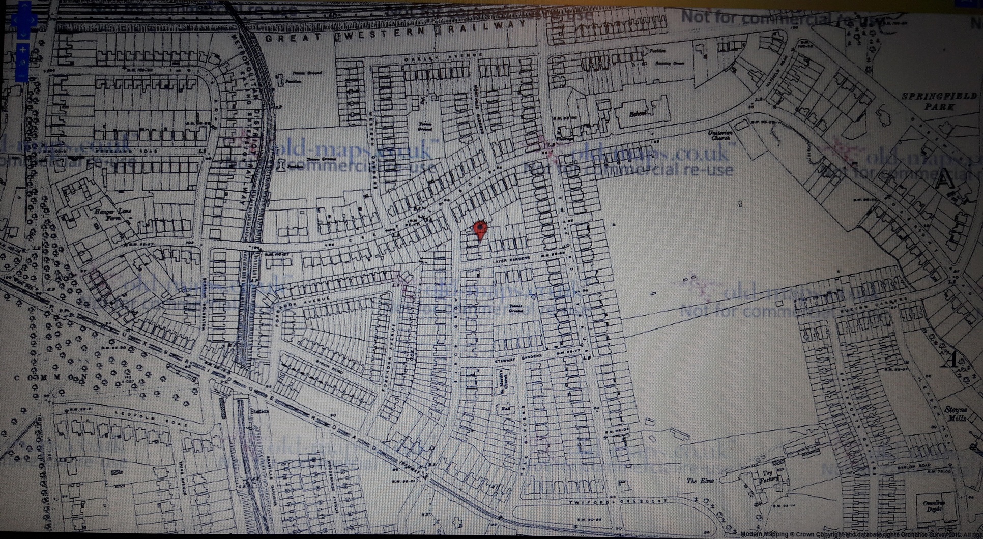
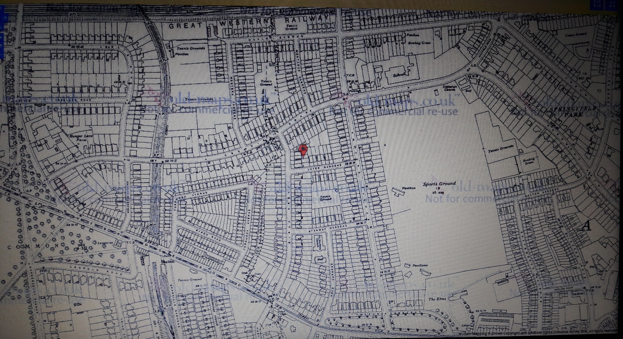
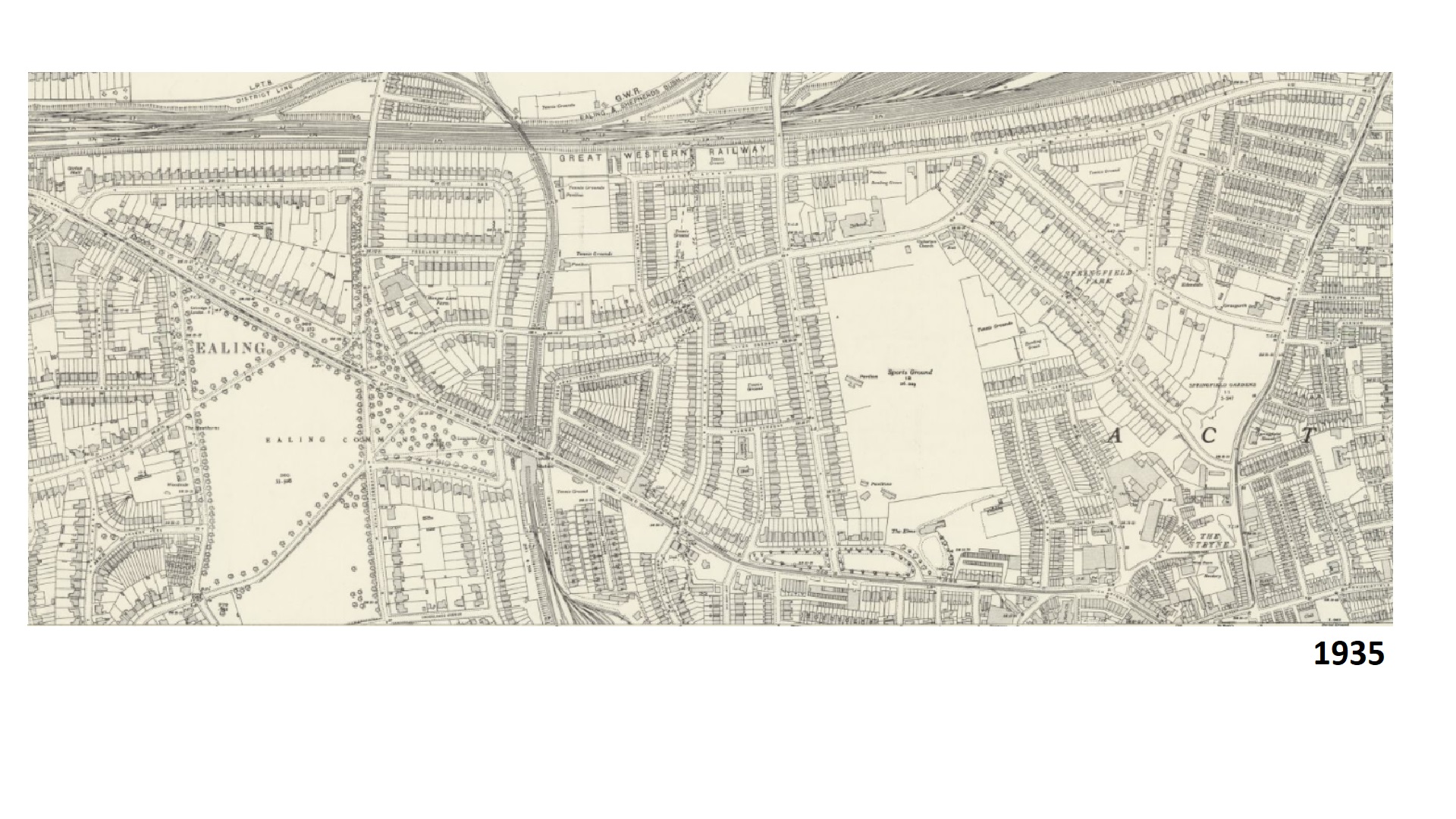
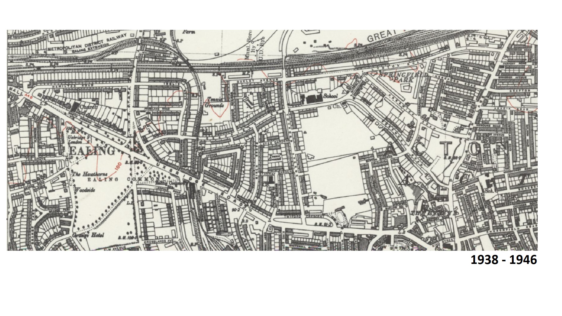
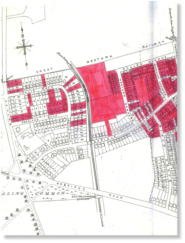
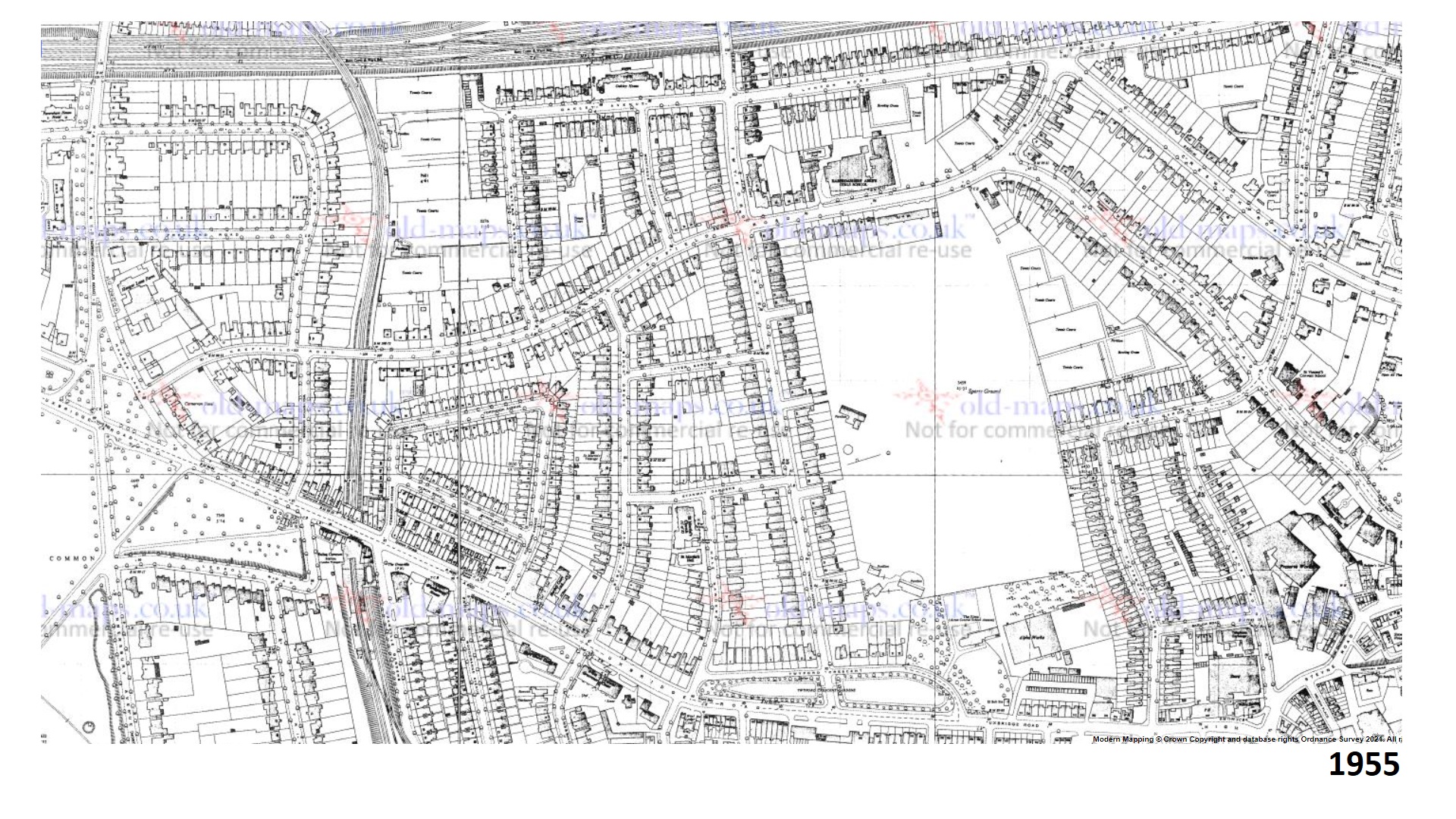
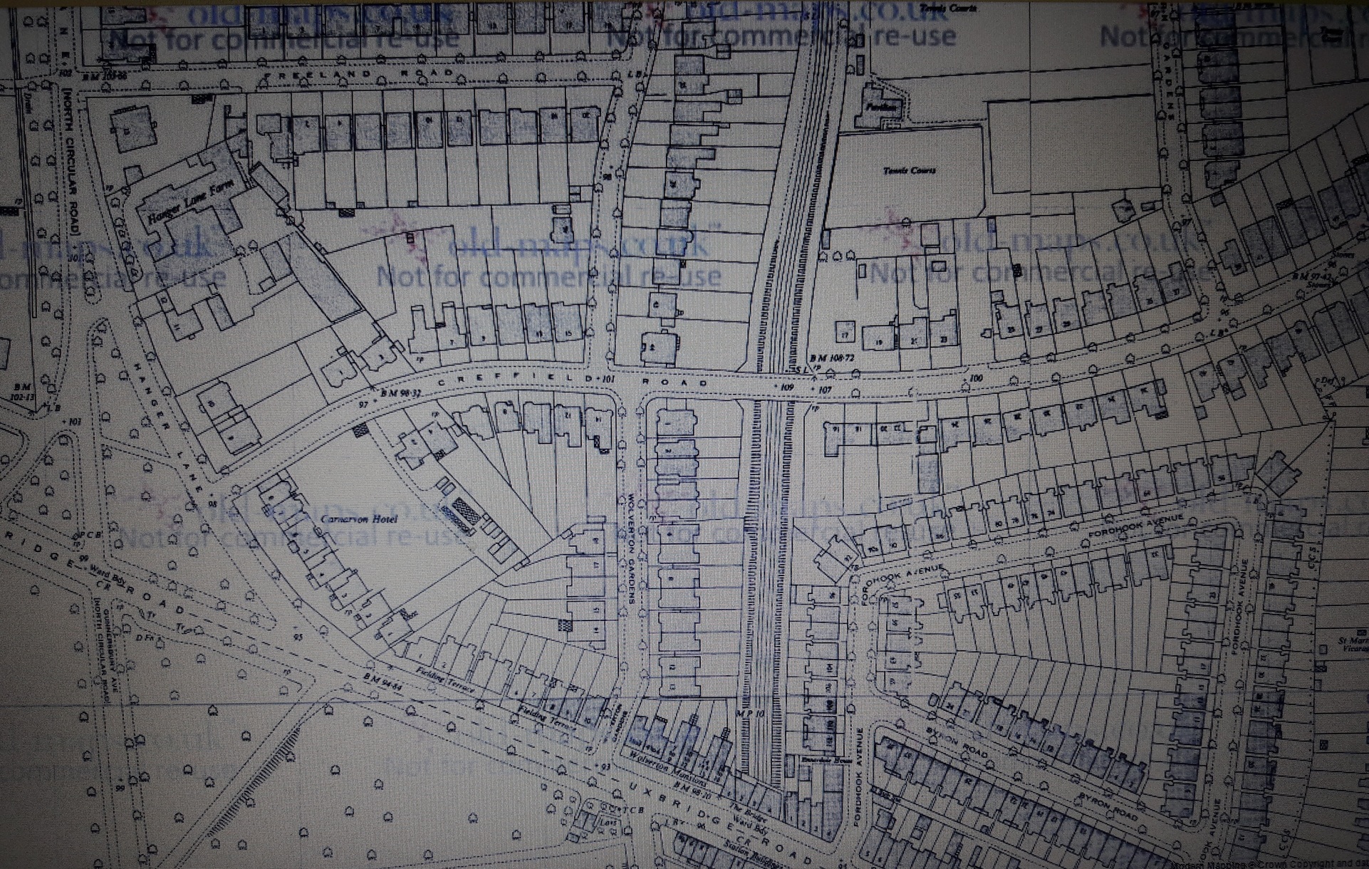
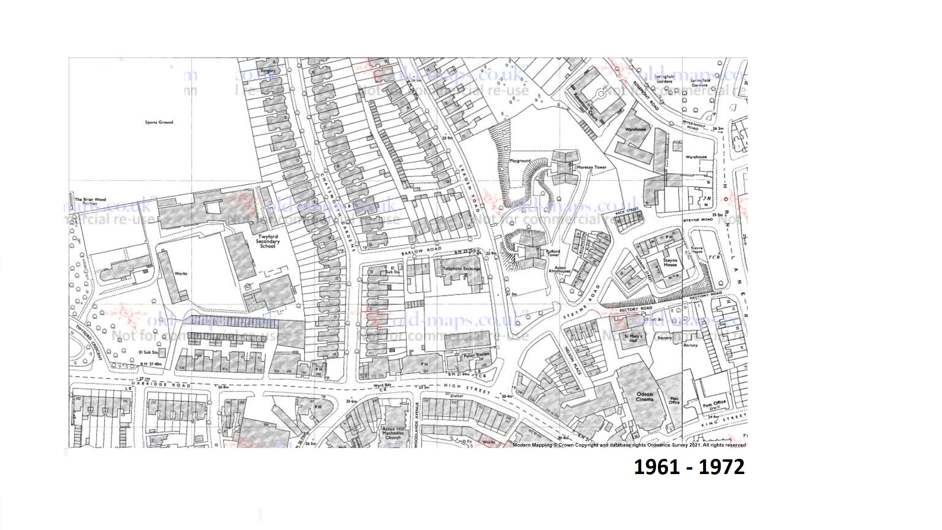
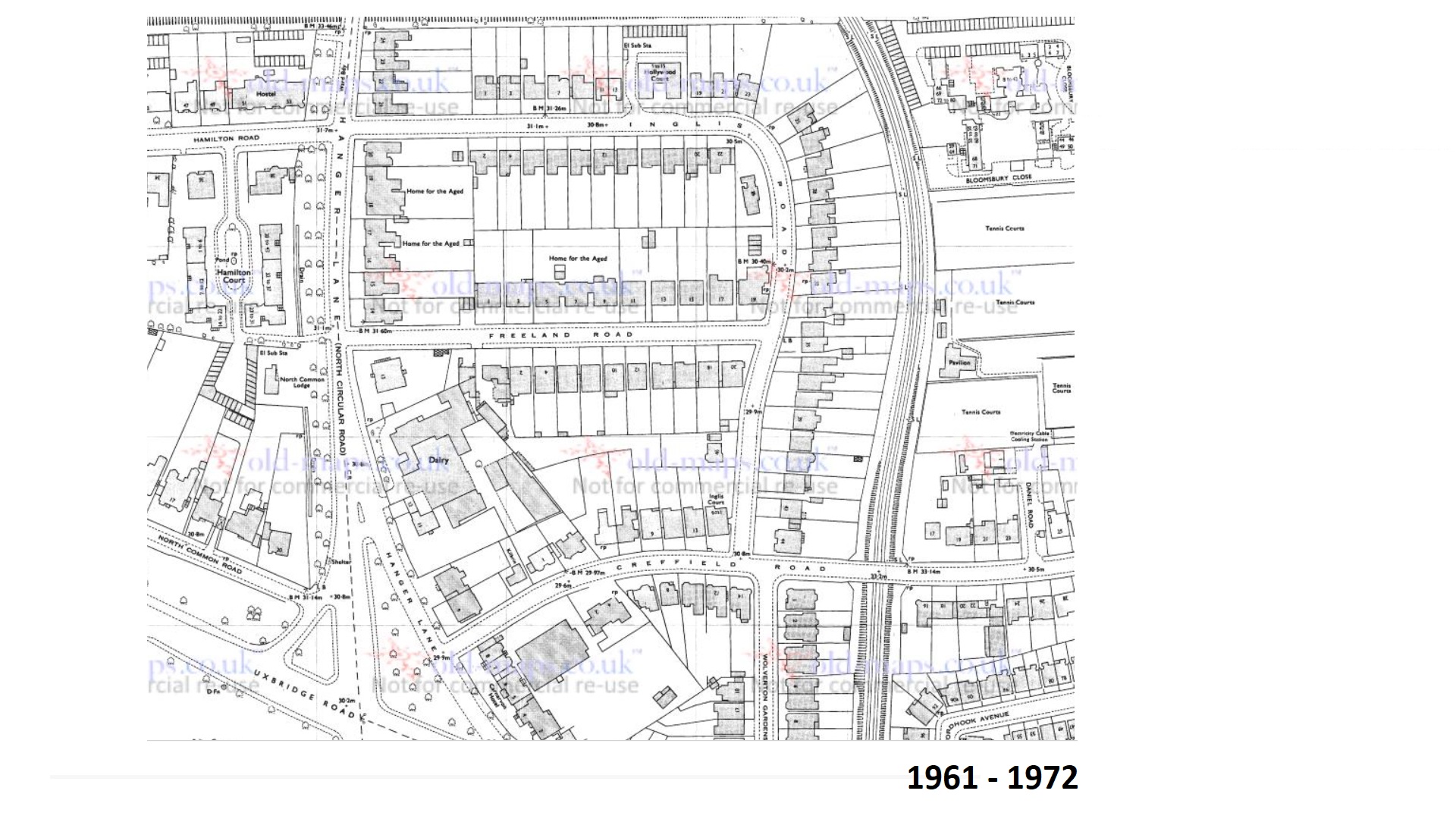
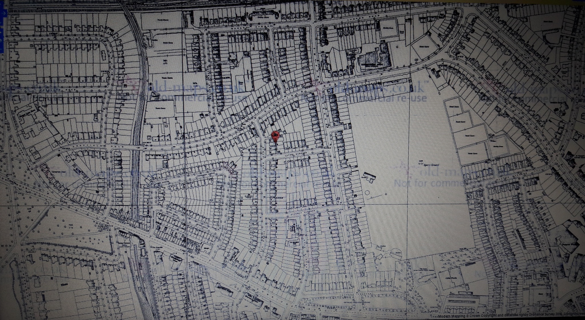
Historic Maps These maps show the development of the area, from the original Fordhook and Elms estates to the housing of today. 1761 Ealing / Acton 1777 Ealing / Acton 1805 Acton 1844 Ealing Tithes 1844 Elms Estate Tithes 1850 1874 1874 Road Layouts 1874 1888 Birch Grove 1891 Freeland / Inglis area 1894-96 Elms Estate 1895 Elms Estate and Fordhook House 1895 Freeland / Inglis 1896 1896 c. 1896 Fordhook House 1896 c. 1900 Early CARA development 1908 1914 1914 1915 1934 1935 1938-46 1939 1955 1956 1961-72 1961-72 1985